Tuesday 20th December 2016
If I had to be honest I would admit that I hadn’t prepared for this holiday as well as I normally do, where every last detail is planned from start to finish. I will usually spend months pouring over maps and studying timetables until I know precisely where I’m going to be walking on any one day in my holiday, even though weather often intervenes and forces me to abandon my plans. This time I was so sure of bad weather that every time I thought of somewhere to walk I would immediately think I’ll probably not be able to do that because of the weather. Consequently the previous evening I was desperately pouring over my map trying to decide what to do and eventually I decided that I would catch a bus to Dungeon Ghyll, in Great Langdale, and walk back along the ridge over Blea Rigg and Silver How. However, I was still so unprepared that, after going back to my room in the hostel several times for things that I’d forgotten, by the time I got to the bus stop the bus had already gone, so once again I was without a plan. The weather for this walk was worse than it had been the day before with grey, murky skies and also a bitterly cold wind that should have deterred anyone from going up onto the fells.
Dejectedly, I started wandering down the road towards Langdale, which was fine until I reached Clappersgate where the path beside the road disappeared and I had to risk death by walking on the busy road until I finally reached safety at Skelwith Bridge. There I had a path, away from the road, beside the River Brathay and so I felt that only now the walk had actually started, and it was immediately very pleasant. I soon reached the lovely, little waterfall of Skelwith Force, which I have visited many times before, but it was nice to visit it again before continuing along the easy path to Elterwater. It was a pleasure to walk along this path, despite the miserable weather, and eventually I reached the small community of Chapel Stile in Great Langdale. From there I had several points from which I could climb onto the Silver How ridge, but I chose to continue along the road beyond Chapel Stile until just before I reached Harry Place Farm where I took a path that climbs steeply up the hillside. Wainwright mentions this path in his Blea Rigg chapter saying that it is a “beautiful and exciting route, hardly more strenuous than the road and infinitely preferable.”

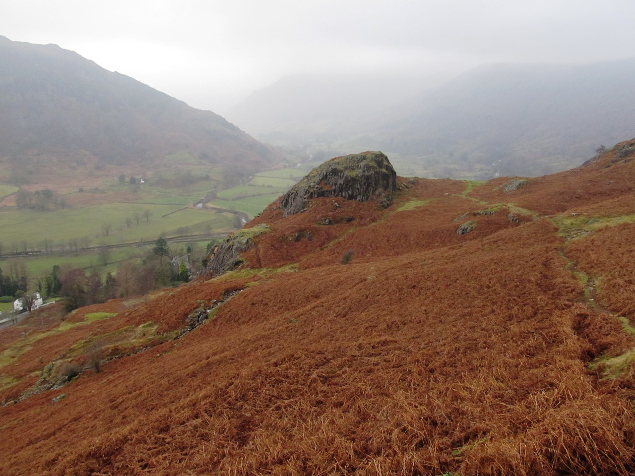
After an initial steep, strenuous climb that had me questioning Wainwright, the path levels to become a wonderful terrace route with views through the mist up Langdale over the top of Copt How. Better weather would have given me better views, but I was still enjoying the walk along this great path through the dead bracken over Thrang Crag until I eventually joined up with the paths that come up from Chapel Stile. That includes a familiar path that I remember taking
four years ago on my way to Grasmere, but this time I was not going all the way over the ridge, just to Silver How at the top. When I reached the top of the spectacular ravine of Megs Gill, I came off the path, initially by mistake though I soon realised that I had missed the turning, and decided to follow a faint path that climbs beside Megs Gill in order to explore the area. There is a cairn in the vicinity marked on the map that overlooks Langdale and is labelled on Wainwright’s original edition as Stone Man but is absent from the later editions. Not surprisingly, I couldn’t find it any more than Chris Jesty or Clive Hutchby could. The views from that point should be spectacular looking towards Elterwater, but they just looked into the same mist that I had been seeing all day.

The best views were behind me looking onto the fabulous Silver How ridge with its complex undulating skyline that is a joy to explore so long as the clouds are not too low. I have spent many a wonderful afternoon slowly descending this gently undulating ridge from Blea Rigg exploring the many tops along the way, visiting Great Castle How and Lang How among others before reaching Silver How. That had been my plan for this walk, but since I had missed the bus I was now left to climb up from Megs Gill on faint paths heading towards the top of Silver How. Ducking behind the summit crag of Silver How, I had my lunch while trying to hide from the bitterly cold wind that made being at the top of this relatively small fell feel mountainous. After eating I descended the steep, scree gully that is immediately below the summit and after crossing the Grasmere path I followed the edge of Wyke Plantation before taking a turning back up towards the top of the ridge. I had a thoroughly enjoyable time making my way along this undulating ridge on the many glorious paths that make this such a fascinating place and a joy to walk.
Eventually I reached the road near the Langdale Youth Hostel and a short walk along the road brought me to the top of Red Bank and the start of the popular tourist route up Loughrigg. This was my first fell in the Lake District,
back in 2002, and I have had a lot of affection for the fell since then, even though I lost a pair of glasses on Loughrigg that day. Soon after I started climbing it started to rain, which eventually prompted me to put my waterproof trousers on, which prompted the rain to stop. That happens so many times to me! I kept going until I reached the wind-swept summit of Loughrigg, but I didn’t stay there long as the weather was deteriorating fast, so I continued over the fell following the clear path that gradually descends all the way down to the bridlepath that crosses the southern corner of the fell. Maintaining my traverse of Loughrigg, I headed across the path and onto the undulating ridge that passes Lily Tarn before ending at the top of Todd Crag where I could see stunning views in the diminishing light over the northern end of Windermere.
I had only
once before been to the top of Todd Crag and it had been an exceptionally windy day, and now the weather was not much better with poor visibility. I would love to spend a lot of time exploring Todd Crag, but this was not the occasion so I dropped onto an excellent path that I had never been on before that took me steeply down to Clappersgate, and I was overawed by the genius of its construction as it zigzags down the hillside. Despite the failing light, it was a pleasure to walk on this brilliant path that has since often come to my mind. I must come back in better weather as I cannot believe this little path could have been so good. The weather was not great on this walk with a bitingly cold wind and the walk didn’t really start until I got to Skelwith Bridge and it really took off at the start of the the path from Harry Place. I enjoyed most of this walk simply because it was in the Lake District, and I loved being back, but the ridge around Silver How was immensely entertaining and a joy no matter what the weather. Loughrigg is almost a separate fell and was a welcome bonus despite the deteriorating weather. After all my uncertainty before this walk, and after spending the morning dodging cars, it is great to be able to say that I ended up really enjoying this walk.