Friday 27th May 2022
After starting the West Highland Way at the half way point in Crianlarich, I was now on my third and last day on the trail and although I had not intended on sticking to the trail, poor weather had prompted me to do so. Overnight in Kinlochleven there had been strong winds and heavy rain while I was camped at the Blackwater Hostel, which was so full they were turning people away and many of those appeared to have wild camped in the woods just outside Kinlochleven. I have memories from 2004, when I first did the West Highland Way, of the strenuous climb through the woods out of Kinlochleven, but now as I followed the hordes of people on the trail it didn’t seem too bad. The rain failed to detract from my enjoyment of the views that appeared as I climbed across Loch Leven and back over the trees towards Kinlochleven, but the large numbers of people did spoil the walk as it was often difficult to get around them on the narrow path. Eventually I emerged out of the woods and joined the track that I remembered walking in 2017 after coming down from Loch Coire an Lochain and passing Mamore Lodge. Since 2004 I have returned to this final stage of the West Highland Way several times having done it again in 2012 searching for an easy walk while staying in Glen Nevis and I returned again in the aforementioned walk of 2017.

On that occasion I had diverted off the trail towards Beinn na Caillich and Mam na Gualain on a ridge to the south of the West Highland Way and I remember the path down to the bridge over the Allt Nathrach being very muddy, but now I could see that the path has been greatly improved. For this occasion I had planned to come off the trail to climb north on a path into Coire na h-Eirghe, but strong winds and generally poor weather stopped that idea and once again I was forced to stay on the West Highland Way. Unfortunately the trail at this point is very tedious as it follows a wide, stony track through a broad, featureless valley that is empty of any redeeming features. Steep slopes to my right disappeared into the cloud-covered high mountains of the Mamores while to my left was the lower ridge that I had climbed in 2017. There were no trees or buildings in the valley, which was a stark contrast to the beautifully wild landscape around Loch Leven where there are many trees. Slowly, I followed the many other people on the trail over the pass and through the fords that litter the path at that point, which was not a problem for me, but it was funny seeing everyone else trying to cross the streams without getting their feet wet.

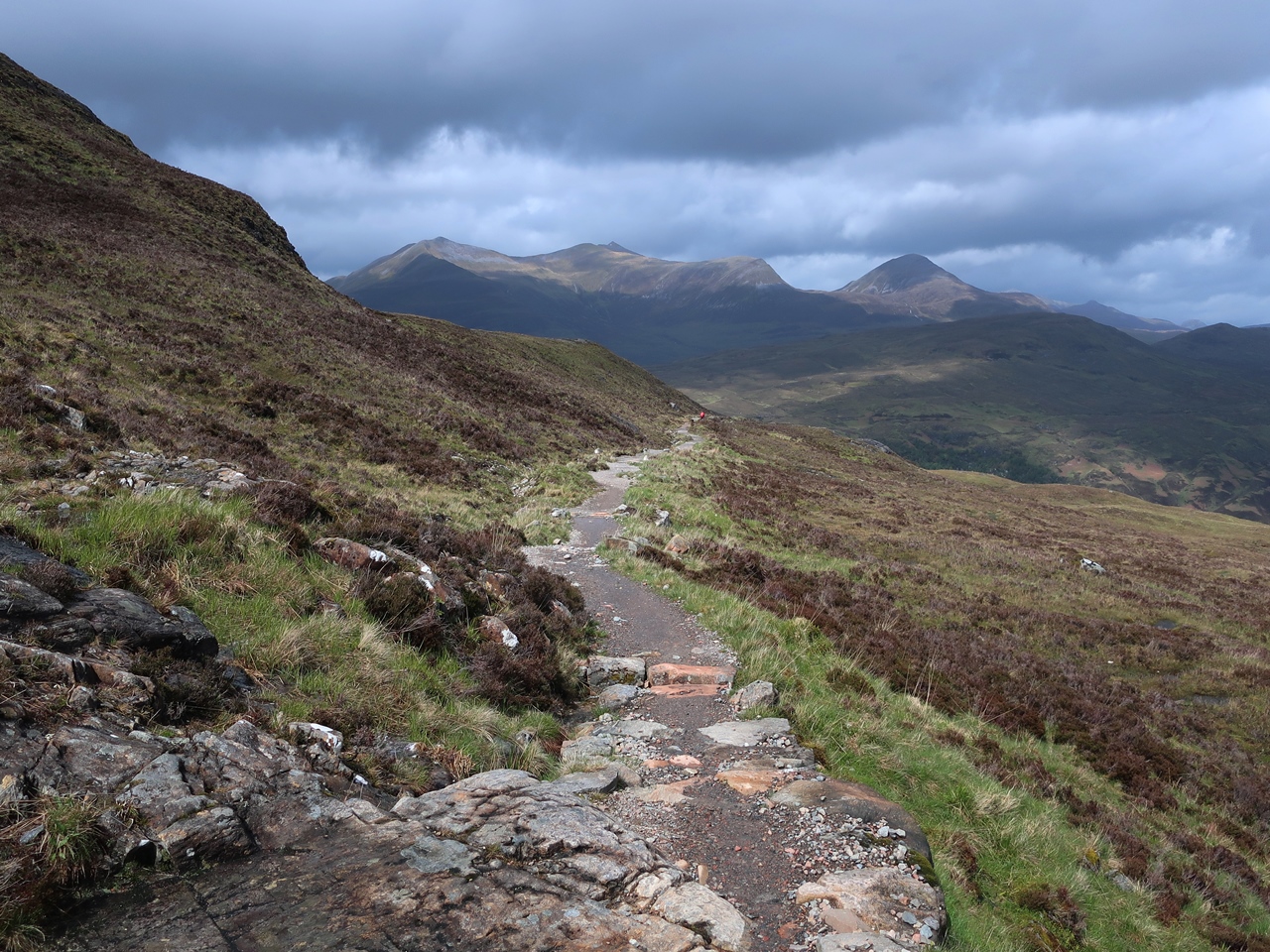
After passing the ruins of Lairigmór and the point where my route of 2017 came back down from the ridge, I followed the track as it turned north and entered an area of cleared conifer plantation that is being allowed to regenerate naturally. Eventually I came off the wide, tedious track onto a much more interesting and narrow path that undulates around the hillside and through natural woodland. At one point, in a sheltered ravine over the Allt Coire a’ Mhuilinn, I encountered something I hadn’t yet seen on this holiday: midges. These were very early, but heralded the start of the seasonal invasion of these ‘wee beasties’, but fortunately it would be a while before they would overwhelm everywhere. The path was very narrow at this point, so if someone was particularly slow, then a long queue of people would soon develop behind them and I found myself in one such line, so when I found an exposed location, free of midges, I stopped to have my lunch and admire the view across the former conifer plantation, now a regenerating landscape.

Ahead of me I could see the steep slopes of Ben Nevis disappearing into the clouds while behind me I could see glimpses of blue sky as the sun tried to break through and brighten the day. After eating I continued along the excellent path that descends into the corrie at the head of the valley before climbing up to the pass into Glen Nevis. On reaching a broad forestry road, I knew that the interesting walking was over and also that it was downhill all the way into Glen Nevis, but I was pleased to see that even in Glen Nevis the non-native conifers were slowly being removed and replaced with native deciduous trees. It was just a pity that I had to walk on a wide forestry road, though the views down Glen Nevis towards Fort William were ample compensation as the weather slowly improved. However, I wasn’t in a hurry to get to Fort William so when I reached a junction on the forestry road, I turned right instead of left and followed a branch of the West Highland Way that goes to the Youth Hostel and campsite in Glen Nevis. On previous occasions I have stayed at the Youth Hostel, but I usually find that full of tourists so this time I went to the campsite and put up my tent.
The weather was now sunny and I hoped it would stay that way for the rest of the day, so I got my sunglasses out and went for a walk down the valley towards Fort William, but I didn’t need the sunglasses as the sun didn’t stay out for long and soon it started raining again. I have many happy memories of time spent in Glen Nevis, though the last time I was there was in 2017 so I was glad to be back and enjoy the fabulous scenery. The weather was very changeable during these three days on the West Highland Way so if I had planned to go up mountains on those days, the weather would have ruined everything. Instead, even though I had not intended on staying on the West Highland Way, I enjoyed the experience, but I did not enjoy the vast numbers of people on the trail, which was at its worst on this day. I have increasingly been enjoying long distance trails, especially as they are immune to the weather, and despite only being on the West Highland Way for three days, I really enjoyed it.