At the start of this day I was camped inside a conifer plantation in the valley of the Abhainn Shira and once I had packed up I set off back down the valley under sunny blue skies that had me checking the weather forecast because I had expected rain, which wasn’t too far away. On reaching Forest Lodge near Victoria Bridge I turned left onto the West Highland Way to resume my trek that had started the day before in Crianlarich. Initially the trail passes over cobbled stones that were quite slippery in the damp conditions, but soon became the usual gravely track as I left the trees behind and ventured north across a vast landscape. To my right I had far-reaching views across the bleak Rannoch Moor while to my left rose the high peaks of the Black Mount. When I was previously on the West Highland Way in 2004 I had looked on those mountains with longing, so when planning this holiday I decided to go over them taking in Stob Ghabhair, Creise and Meall a’ Bhùirigh, which is a walk I have wanted to do for a long time. However the weather forecast was poor which prompted me to stay on the West Highland Way and soon it started to rain which didn’t stop until I reached Bà Bridge.

There the sun came out, which gave me fabulous views across Rannoch Moor and up into the mountains that surround Coireach a’ Bà with the narrow ridge, seen end-on, of Sròn nan Giubhas looking particularly striking. I was surprised to see that the mountains were clear of clouds, which made me want to be at the top of them, although the strong winds would have soon taught me otherwise. The sunshine was welcome as I enjoyed the views in all directions while slowly climbing to the pass near Beinn Chaorach where it started raining again. On the descent Buachaille Etive Mór brooded under dark clouds even while Rannoch Moor behind me basked in sunshine. Strong winds attacked me all the way down so when it started raining heavily as I approached King’s House the conditions felt horrible which prompted me and several other walkers to find shelter beside the Inn. I took advantage of the prolonged stop to have my lunch and I didn’t leave until it had finally eased allowing me to set off along the old military road. This stony path took me slightly uphill below Beinn a’ Chrùlaiste and past Buachaille Etive Mór on the other side of the valley near to the top of Glen Coe. It is a shame that the West Highland Way doesn’t descend Glen Coe as that is a delightful valley that I regretted not stopping in to enjoy its delights again.

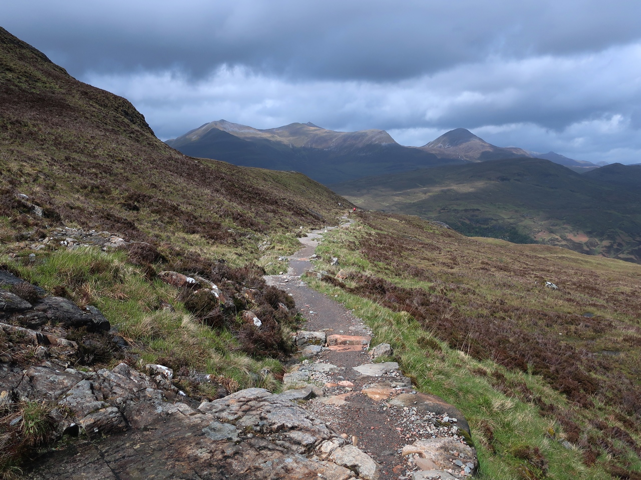
Instead, I followed the West Highland Way up the infamous Devil’s Staircase as it snakes up the hillside to the highest point on the trail. I remember zooming up this path in 2004 under good weather, but on this occasion it soon started raining again and I was carrying a heavier load (and I was eighteen years older!). After the wide, flat tracks that dominate the West Highland Way, it was great to have a proper mountain path to climb and on the other side I found an excellent path that was a joy to take especially while the sun was shining and I was sheltered from the wind. When I turned a corner at the foot of Sròn a’ Choire Odhair-bhig I was again exposed to the westerly winds, but the views were unimpaired as I rejoiced at the sight of the mighty Mamores range of mountains across the valley and marvelled at how much better the West Highland Way seemed than I remembered from 2004. I was particularly taken by the views into the valley of the River Leven that seemed to be full of trees and made me yearn for Scotland to be more like that. My heart ached for the beautifully wild scenery as I slowly descended onto the access road for Blackwater Reservoir.
The woodland scenery compensated for the wide track that I was slowly descending and so I had a very enjoyable descent all the way from the top of the Devil’s Staircase down into Kinlochleven. Such is the excellence of the signage on the West Highland Way I did not feel the need the consult a map at any time during my two days on the trail from Crianlarich until I reached the River Leven just outside Kinlochleven. I was at a junction, but there was no sign indicating the correct direction. Instead I was confronted by a vast array of adverts for accommodation including the Blackwater Hostel that I had stayed at in 2004. On that occasion I turned left following the sign for the hostel, but the West Highland Way actually turns right, upstream, away from Kinlochleven for a short distance to a bridge, but after crossing over there were still no signs for the West Highland Way. After walking along a road for a short distance I consulted my map and realised I had missed a turning. My Harvey Map indicated that the West Highland Way follows a muddy little path beside the river, but other maps that I have checked since say the road was actually correct.
Eventually I reached the bridge that carries the main road in Kinlochleven over the River Leven and there I finally found a sign for the West Highland Way, but having reached my destination I turned left to go to the Blackwater Hostel that I had stayed in eighteen years ago, although this time I was camping there. Fortunately I had booked two days earlier as the hostel, even just for camping, was full, which is a reflection of the enormous popularity of the West Highland Way. All the time I was on the trail there were people not far ahead of me and others just behind me. I was never on my own, which is one reason why I didn’t need a map: you just followed everybody else.
No comments:
Post a Comment